Internet Roadtrip
A shared Street View road trip steered by everyone online at once.
- Rabbit hole
- Works on phones
- Alive
21 sites · every link checked daily
A map is a flat argument about a round planet, and the best map websites let you argue back. The cool map websites in this category turn geography into something you can drag, guess, spin and fall into.
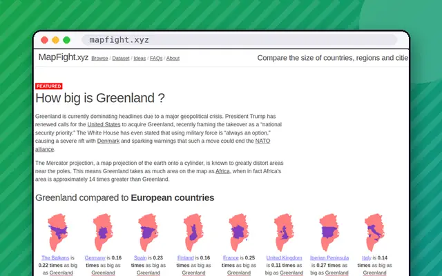
The True Size Of ... lets you drag a country to a different latitude and watch it change size, which is a quick cure for Mercator misconceptions. Antipodes Map shows where you would come out if you dug straight through the Earth; usually, the answer is the ocean. MapFight overlays one place on another to settle which is bigger. If you want to wander, MapCrunch drops you onto random Street View locations, and Wonders of Street View curates the strange things the camera car has caught.
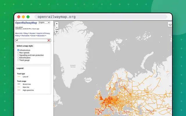
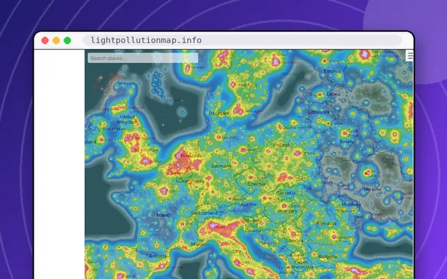
Some maps are mostly about the present moment. Flightradar24 shows air traffic live (some features are freemium), OpenRailwayMap charts the world's tracks and signals, and Light Pollution Map shows how washed-out your night sky is. For travel-minded browsing, Atlas Obscura and Roadside America are guides to oddities near and far.
Many Street View sites require Google's imagery to load, so a slow connection can make them sluggish, and we note when a site has a bot wall that blocks automated checks.
Looking for something to play? The GeoGuessr alternatives list collects map-guessing games, and Data & Visualization covers live globes of weather and quakes. Or let the button pick a latitude.
A shared Street View road trip steered by everyone online at once.
Spin a 3D globe and tune into live radio from any city.
Dig a hole and see where you would come out the other side.
Drag countries around the map to see their real size.
Funny buildings, strange costumes and other oddities caught by Google.
Drop into a random Street View location anywhere on Earth.
A world map of train tracks, signals and rail infrastructure.
A guide to uniquely odd tourist attractions across America.
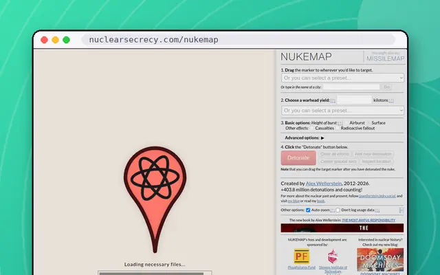
Drop a nuclear weapon on a map and see the effects.
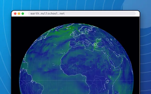
A gorgeous live globe of the world's winds, weather and ocean currents.
Watch lightning strike around the world in near real time.
See how bright the night sky is where you live.
A musical time machine: pick a country and a decade, then listen.
See exactly where the International Space Station is right now.
Tens of thousands of beautifully scanned old maps.
Animated wind, wave and storm maps with a huge layer menu.
A live map of every notable earthquake on Earth.
The True Size Of ..., Antipodes Map, MapFight, MapCrunch and Radio Garden are quick and playful. Atlas Obscura and Roadside America are better for planning odd trips. Globle is a daily geography puzzle. Each is free to try and checked daily by us.
MapCrunch is the closest no-frills alternative, dropping you at random Street View spots so you can guess where you are. Globle is a different style of geography game, using distance clues on a globe. Our GeoGuessr alternatives list collects these and other map toys.
Most web maps use the Mercator projection, which stretches areas near the poles. The True Size Of ... lets you drag a country toward the equator to see its real relative size. It is a good way to see how Greenland and Africa compare.
Yes. Flightradar24 shows air traffic in real time, and clicking a plane reveals its route and speed. OpenRailwayMap is a detailed map of rail infrastructure, though it is not a live train tracker. Both are listed here and may have freemium features.